

Enhanced Map Annotation and Automation
Streamline the process of annotation with AI-driven solutions.
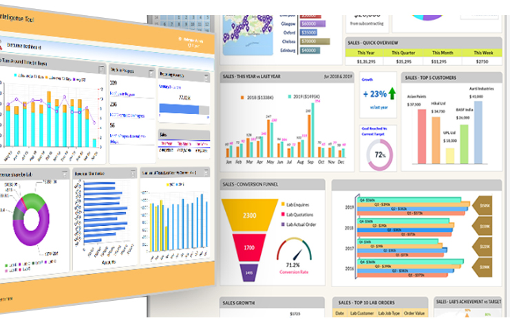
Geospatial Data Analytics and Insights
Transform raw geospatial data into actionable insights with AI.
Optimized Resource Management and Planning
Optimized Resource Management and Planning
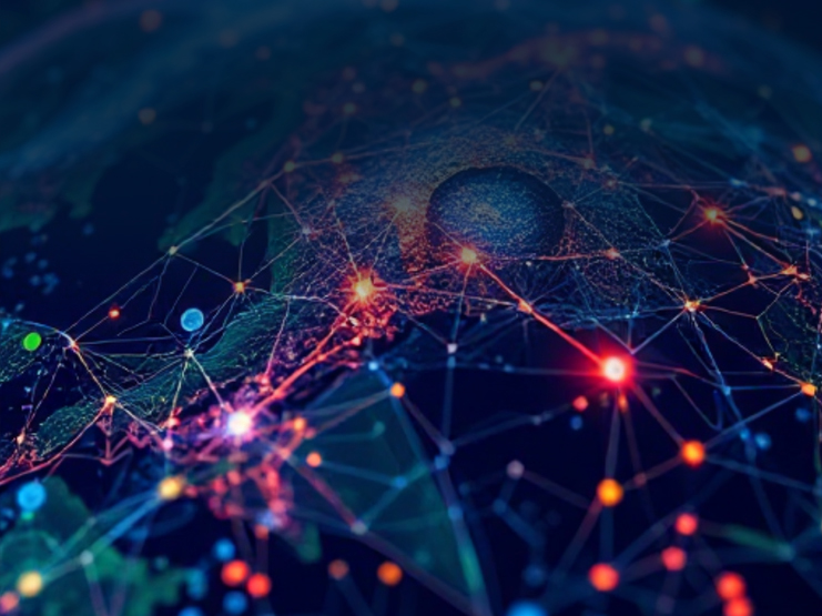
Geospatial Predictive Modeling
Stay ahead with forecasts based on past and present data.


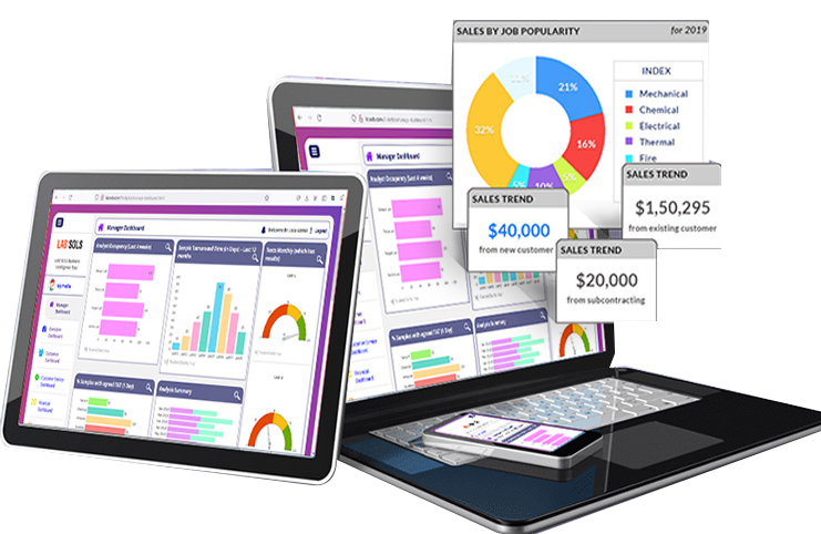
Improved Accuracy in Remote Sensing and Imagery
Improved Accuracy in Remote Sensing and Imagery
Ready to Elevate Your GIS Capabilities?